A main goal at Blackburn Ridge is to be both financially and environmentally sustainable, while maintaining excellent animal health and welfare standards. We know there is always more to learn, but we are committed to doing our best for the land, our animals, our waterways, and future generations.
Some of the things we do include:
Mickey is a committee member of the Upper Tukituki Catchment. Catchment groups work towards a long-term vision of a healthy environment, from water quality to biodiversity goals, alongside a thriving rural community.
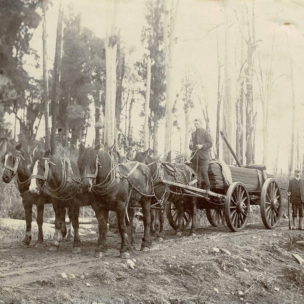
We use Halter collars to help manage stock more efficiently. This supports better pasture utilisation, improved water management, and smarter grazing decisions across the farm.
Our waterways are fenced to help keep creeks healthy and support biodiversity, including eels, kōura, and native fish.
We have completed extensive riparian planting, with more than 1.5 kilometres planted through plenty of sweat, determination, and care.
Blackburn Ridge uses Bioloo composting toilets as part of the visitor experience. Bioloo
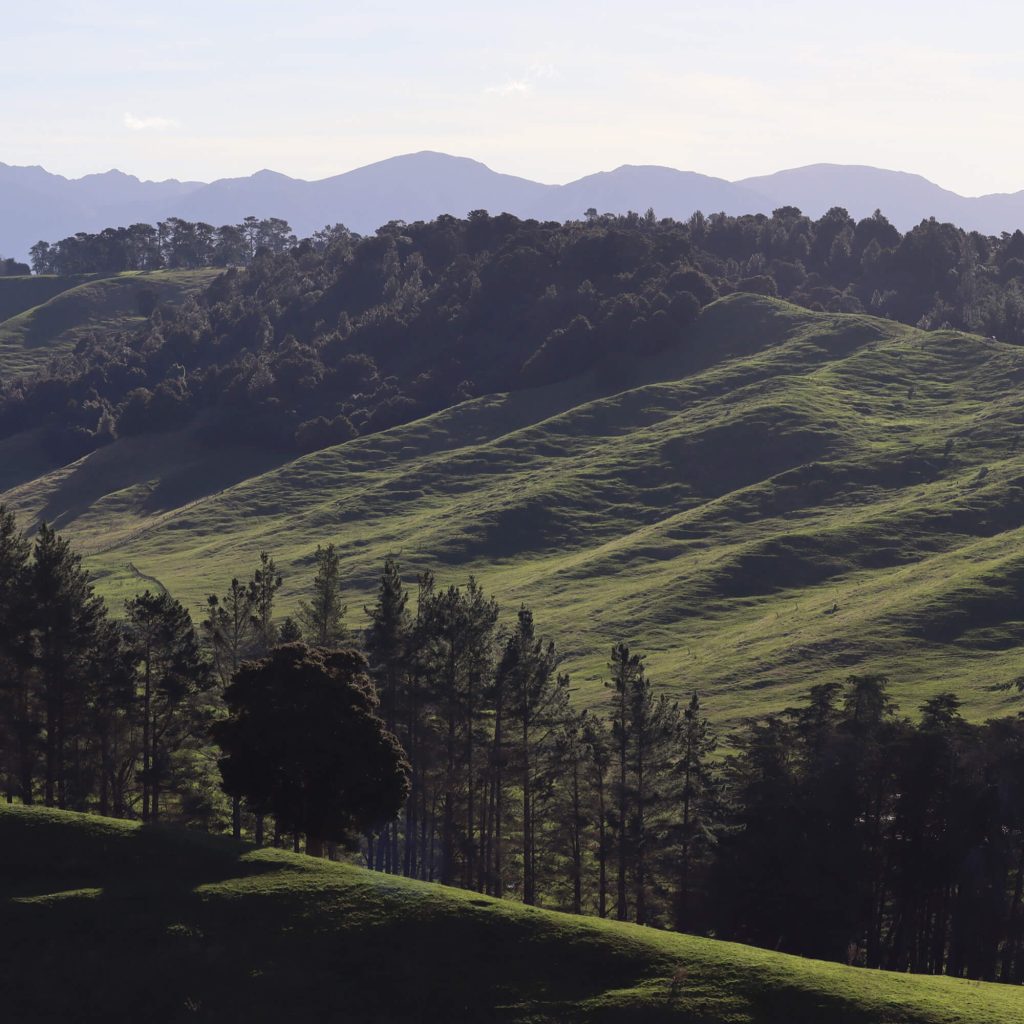
Hardy Bush has been fenced off to allow it to regenerate naturally.
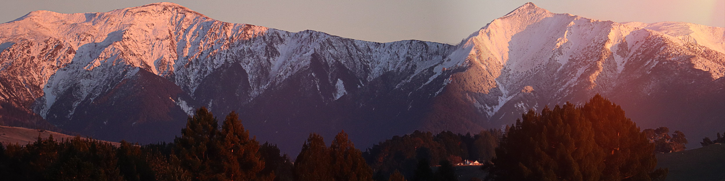
We plant poplars and willows to help manage erosion and protect vulnerable areas of the farm.
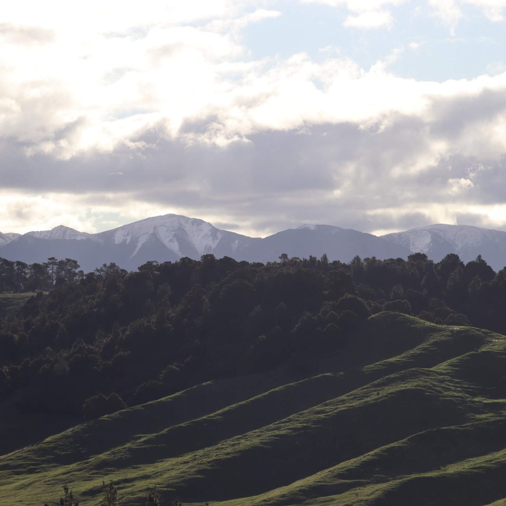
New plantings contribute to carbon sequestration, with some blocks registered under the New Zealand Emissions Trading Scheme.
Solar pumps are used to pump water to high points, allowing it to be reticulated efficiently around the farm.
We use Real World products to help reduce our impact on the environment.
We recycle through Ongaonga and use farm recycling systems such as Plasback and Agrecovery to reduce waste wherever possible.
The Ruahine ranges were not extensively settled by Māori but used as a place of refuge, with ancient tracks enabling access across the range to Mokai Patea and beyond.
During the 1800s, there was a significant period of battles and fighting amongst various hapu and iwi that went on for almost 30 years. One battle of note was Te Whiti o Tu in 1823, not far from here on the Waipawa river, which acted as a corridor into the ranges.
Two parties from opposing sides of the ranges met, peace was made, but this was immediately broken when Ngāti Tūwharetoa, Ngāti Te Upokoiri & relatives open fired on Ngāti Te Whatuiāpiti & Ngāpuhi. Ngāti Te Whatuiāpiti & Ngāpuhi eventually overcame their attackers, but over 50 people lost their lives during the battle.
At the time, the chiefs would not have understood there was something bigger at play than these skirmishes, colonisation.
In 1855, Ngāti Te Whatuiāpiti (led by Te Hapuku, pictured) sold the “Ruahine Bush Block” to the crown. Settlers were keen on farming the plains and the bush for timber and were waiting anxiously with their flocks
It was gazetted in 1857 as ‘Chiefly forest land, skirted by low hills & grassy terraces, running back spurs off the Ruahine Range’
Research done through the Onga Onga Historical Society, Cultural Reports on the Tukituki Catchment & the Waitangi Tribunal Ruahine Bush Block Report 1994
In the 1860’s pressure was growing for small farms and the Government needed sections for soldier grants. So the decision was made to subdivide beyond the easy flat country of the first big stations and go up into the hills.
In 1871, the Hawke’s Bay provincial council allowed the cutting of wide strip of bush country from the foot of the Ruahine mountains, part of the great “seventy mile bush”. Country to the east had been settled in 1852, however this “new” country surveyed was solid bush, mountainous with a more evenly spread high rainfall.
The Blackburn Ridge and wider Ongaonga region was founded in 1872 by runholder H. H. Bridge. Like other runholders who founded towns, Bridge was paternalistic – he built a school and church and provided land for a recreation ground. Large pastoral runs in the district were subdivided into smaller farms between 1899 and 1905, which provided more business for the township and maintained its prosperity.
The hills were covered in heavy standing bush. It was surveyed off and sold, but before it could be farmed the land had to be cleared. All the undergrowth was slashed and trees below 27 inches in girth were killed. After a season of drying, it was fired.
Clearing in these later years often resulted in fires that swept across the land. Houses, fences and stock were lost. Early families all have tales of saving their possessions through burying them where they could, and families escaping by immersing themselves in streams or in water tanks.
It is the aftermath of the fires that swept these hills which gave this area its name “Blackburn Ridge”. The burning of the forest often left behind the charred remains of logs and black skeletons of trees which remained on these hills for years after.
References: Onga Onga Historical Society & Waipawa.com